
What Is GIS In Surveying?
Important Point

GIS, or gis full form in surveying as ‘geographic information system’, is a computer program that manages data. Specifically, a gis survey is a type of information system that deals with geographic or spatial information.
GIS is a fastly growing technological field that incorporates graphical features with tabular data in order to assess real-world problems.
History of GIS
The gis surveying began to develop in the 1960s, with the discovery that maps should be programmed using simple code and then stored in the computer, allowing future modification when necessary.
This was a marvelous change from the era of hand cartography when maps had to be created by hand. The earliest version of a GIS was known as computer cartography, also involved simple linework in representing land features.
Concept of GIS
Concept of overlaying different mapped features, a technique often used in gis surveying, on top of each other to determine patterns and causes of spatial phenomena. The capabilities of GIS have been known from simple beginnings.
The capabilities of GIS have been known from the simple beginnings of computer cartography. At the simplest level, GIS may be thought of as a high-tech equivalent of a map.
Paper maps cannot be produced for quicker and more effective storage of data. An easily accessible digital format of maps in GIS enables complex analysis and modeling of data, which was previously not possible with paper maps.
The reach of GIS expands in all disciplines and has been used for a wide range of problems, such as prioritizing sensitive species habitat and determining optimal real-estate locations for new businesses.
Also, read: Total Station in Surveying | Operations | Advantage & Disadvantage | Types
Different Definitions of GIS Given by Various

1). The gis definition or Geographic Information System, generally referred to as a GIS, is an integrated set of software and hardware tools used for the manipulation and management of digital spatial (geographic) and related attribute data.
2). The Geographic Information System (GIS) is a computer-based tool for analyzing and mapping things that exist and events that happen on earth. GIS technology uses common database operations such as statistical and query analysis with the unique visualization and geographic analysis benefits offered by maps.
3). The Geographic Information System (GIS) is an integrated system of computer software, hardware, and trained personnel linking demographic, utility, topographic, facility, image, and other resource data that is geographically referenced.
4). The Geographic Information System (GIS) is a computer-based information system that enables capture, modeling, manipulation, retrieval, analysis and
Also, read: What Is Transit Theodolite | Theodolite Parts
Parts of GIS
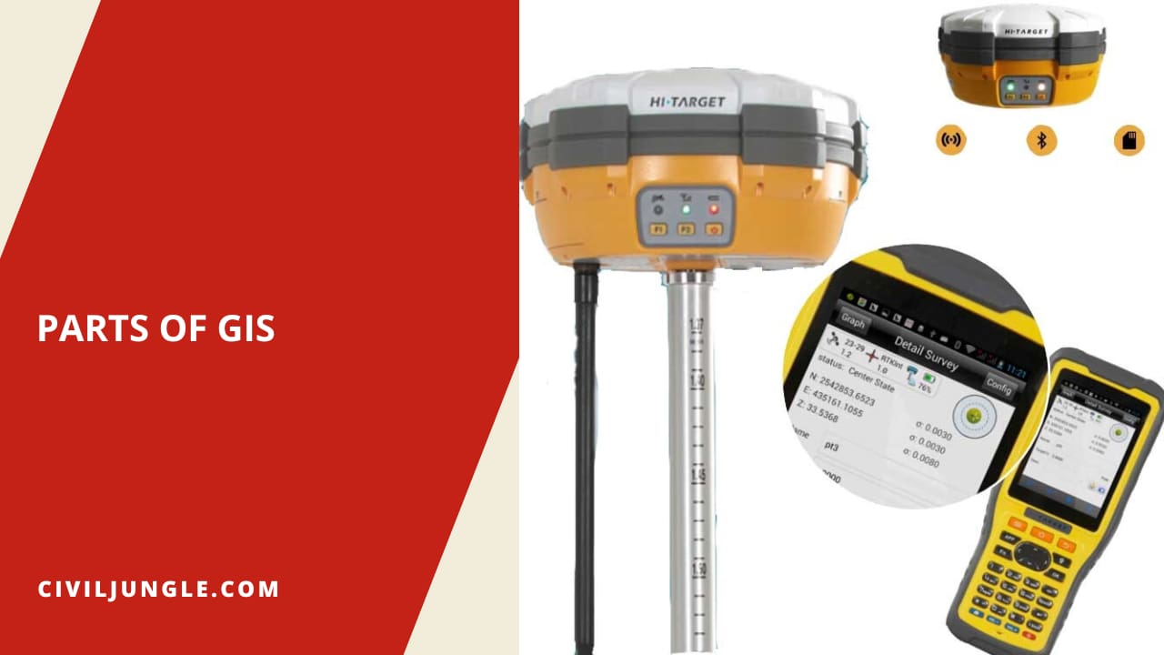
An operational geographical information system in surveying or GIS also has a series of components that combine to make the system work. GIS has five important components, computer hardware, sets of application software modules, required data, people who manage the system and develops plans, and a well-designed implementation method.
These components are critical to successful GIS. A working GIS integrates the following five key components:
- Hardware
- Software
- Data
- People
- Methods
Also, read: What Is EDM in Surveying | Type | Errors
GIS Work Flow
The five essential elements that define a gis survey full form as ‘geographic information system’ are data acquisition, data preprocessing, data management, data manipulation and analysis, and product generation (output).
The above elements are in a continuous flow process in a GIS as in as below fig Data acquisition is the process of identifying and collecting the data required for a given application.
It includes locating and acquiring existing data such as aerial maps, ground maps, images from photogrammetry, and images gathered using remote sensing.
Data preprocessing operations, which are concerned with storage and retrieval of data, are associated with receiving data into the system by manual digitizing, scanning, keyboard entry of attributes, and online retrieval from other databases.
Database management governs the creation of access to the database itself. It provides an easy and consistent method for data envy, updating data, deletion of data, and retrieval of data.
A modem Database Management System is usually used for the creation of a GIS database. Storage and retrieval mechanisms include the control of the physical storage of the data in memory and its retrieval for the needs of the other components.
The data manipulation and analysis include:
- Classification and aggregation,
- Geometric operations such as rotation, translation, scaling, rectification, and registration,
- Controlled determination,
- Data structure conversion,
- Spatial operations of connectivity and neighborhood operations,
- Measurement of distance and direction,
- Statistical analysis as descriptive statistics regression, correlation, and crosstabulation, and
- Modeling.
These elements represent the whole spectrum of techniques available for the transformation of the digital model by mathematical means.
Product generation is the phase where final outputs from the GIS are created. These output products include statistical reports, maps, and graphics of various kinds.
Advantages of GIS

The advantages of using the Geographic Information System (GIS) include:
- Decisions are made easier because specific also detailed information is presented about one or more locations.
- Especially regarding maintenance schedules, fleet movements, or scheduling timetables.
- Improved communication between any involved organizations or departments as the visual format is easily understood by all.
- Geographical changes are easily recorded by GIS for those responsible for recording the changes.
- Knowing what is and shall be occurring in geographic space in order to plan a course of action.
What Is Gis in Surveying?
A Geographic Information System (GIS) is a computer system that analyzes and displays geographically referenced information. It uses data that is attached to a unique location.
Gis Full Form
A Geographic Information System (GIS) is a method of data collection that provides spatial information. Ultimately, GIS connects data to a map to show either location data or descriptive information. These services are often required in the engineering, construction, or infrastructure industries.
Advantages of Gis in Surveying
The Advantages of GIS in Surveying
- Improved decision making as reports and forms reflect accurate and detailed information about a specific survey.
- Reduces costs of a project and therefore increases efficiency.
- It encourages better communication between all parties involved in the survey.
Components of Gis in Surveying
A working GIS integrates five key components: hardware, software, data, people, and methods. Hardware is the computer on which a GIS operates. Today, GIS software runs on a wide range of hardware types, from centralized computer servers to desktop computers used in stand-alone or networked configurations.
Uses of Gis in Surveying
Surveyors use GIS to manage the entire planning aspect of a surveying project. GIS provides the tools necessary to research, develop, implement, and monitor the progress of a project and manage site location, environmental impact mitiga tion, eco nomic analysis, and other critical facets.
Gis Mapping Survey
GIS stands for geographic information system and the map is, of course, a visual representation of quantifiable data. Compared to traditional table maps, a GIS map is dynamic and interactive.
What Is Gis and Components of Gis?
A working GIS integrates five key components: hardware, software, data, people, and methods. Hardware. Hardware is the computer on which a GIS operates. Today, GIS software runs on a wide range of hardware types, from centralized computer servers to desktop computers used in stand-alone or networked configurations.
Like this post? Share it with your friends!
Suggested Read-
- Bearing Surveying
- Instrumental Errors in Leveling | Type of Errors in Leveling
- What Is Traversing in Surveying | Types | Method | Definition
- What is Chain Surveying (Principles, Procedure, Method, Instrument)
- What Is Passometer & Pedometer | Advantage of Passometer & Pedometer
- Principle of Plane Table Surveying Methods | Equipment | Error | Advantage | Limitation

Leave a Reply